
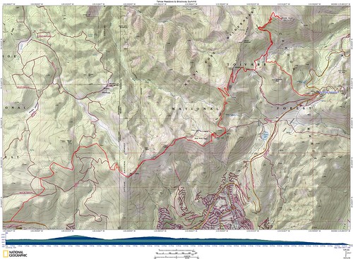
If you click the image it'll take you to Flickr, where you can see the full sized view of the topo map for the trip.
We actually made REALLY good time driving up to Tahoe, and the Brockway Summit trailhead came up faster than I expected. It was probably the shortest drive to any of the TRT hikes I've had. We left my car here and drove onto the Mt. Rose plaza in Bob's car.
A bit about TRT logistics. Each hike is one way, and there's not a shuttle between trailheads, so you have to have at least two cars. When hiking with the Meetup group we always have plenty of people, but in our case with two people, we just had to drive up to Tahoe separately.
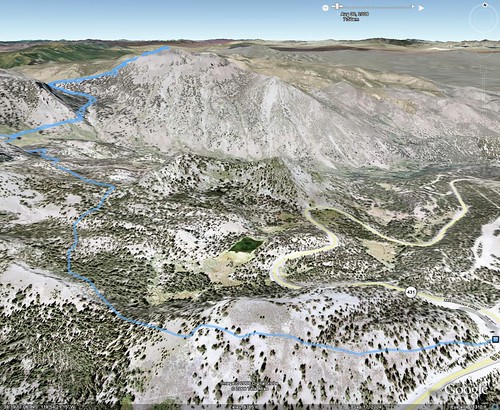
Anyway, we were actually moving on the trail around 8am. My original plan was to, at the end of the trail after we'd come back for Bob's car, to hike to Mt. Rose then. That would give us a chance to look at how we felt after hiking, in case we didn't want to continue. Since we had such a good start, we decided to go ahead and do Mt. Rose first. My apology for the lack of real pictures.
The wind, the wind, the wind! It was tough walking around up there, but the view was great. We could see Reno, which is like 30 or 40 miles away. It helps that Reno has all the casinos or it'd just be some nondescript town. We spent all of about 5 minutes up there.
We headed down off Mt. Rose and took the connector trail from the Mt. Rose, .7 miles back to the TRT. Then we got to climb up all over again to the top of Relay Peak!

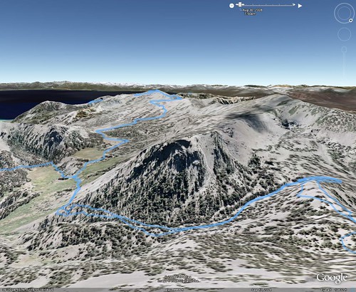
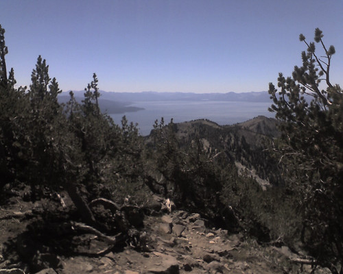
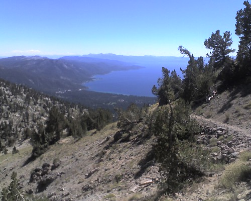
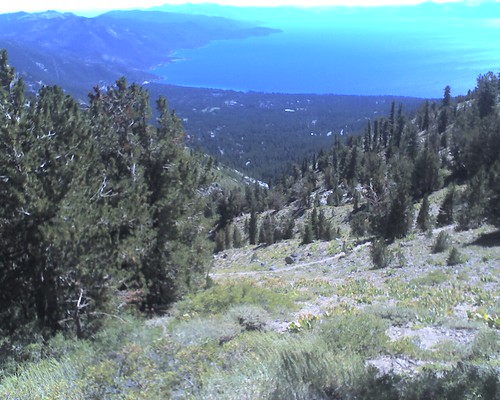
At this point I think we'd hiked about 6 miles, that sign says Brockway Summit is 15 miles. The views at this point were getting better and better, as we came across the ridges and finally in full view of Lake Tahoe, which went on for at least half of the hike, maybe more. BTW, I promise next time around I'm bringing my DSLR. These pictures suck.
As I said earlier, the trail went on along the ridge. At one point we needed water, but the only spot with available water was Mud Lake, which was down a bowl from the trail. We really had no choice, which added another 120 feet of elevation loss/gain. Once back on the trail, we came out onto the ridge again.
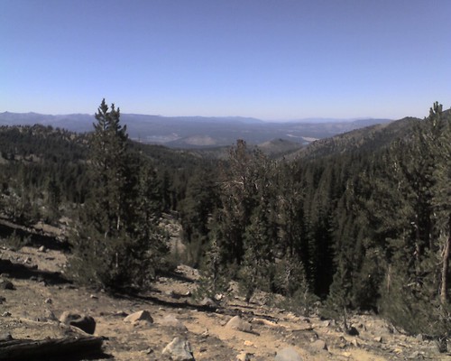
Past the ridge, we descended down into a more forested area, where we hiked the last 7 miles or so. We ran into a few backpackers, who were asking us where to find water, and who told us about how much farther we had to the end. From that point on the trail was mostly downhill, which made the going much, much faster.
Back at the car, the GPS said we'd gone about 24 miles. Back home in the National Geographic TOPO! software, it turned out to be 23.86 miles. Elevation gain +4920, max elevation 10,776'. Calories burned: 5055!


