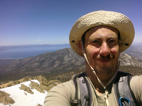
With the summer here comes a break between training cycles, and the Sacramento Meetup Group, which I've done most of my longer hikes with, scheduled a trip to Mt. Shasta. I signed up, but that also means training for it similar to how I train for marathons: by hiking.
To that end, I've been doing longer, more difficult hikes, and last Saturday, hiked up three peaks in the Lake Tahoe area.
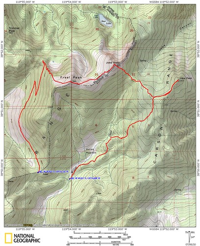
I should also mention that while it looks like there was a gap between where I started and where I ended, there was some sort of malfunction in the Garmin. At one point it said 10 miles, and the next thing I know, it said 510 miles! Come to find out, it had crashed, so the end of the hike was a bit off on the map.
Freel Peak
The initial trail followed the Tahoe Rim Trail for the first mile or so. I experienced a little bit of deja vu here, from hiking this segment in 2007 as part of hiking the complete trail. I'm expecting to hike this portion again on Saturday, when I hike the official TRT segment.
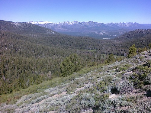
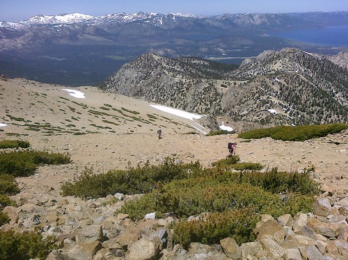
It was steep in parts, but not too bad. The views, of course, were incredible, as are most of them in the Tahoe area. There was also a judicious amount of melting snow, flowing over the trail. The trail changed a little bit once we reached the spur that led towards Freel Peak.
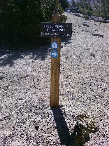
Initially it was just a little bit steeper trail, but then it turned into a steep staircase of granite.

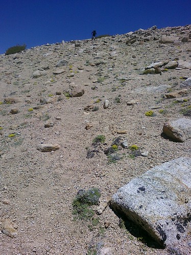
Very quickly, the trail disappeared into loose scree, which is more or less just sand on the side of the mountain. Small steps are necessary to avoid sliding back every step you take. Slow going became the rule.
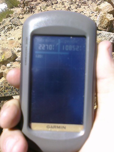
The peak was rated at 10,811 feet, but the GPS read 10,852.
Job's Sister
We headed down the other side to make our way to Job's Sister. The scree, which made going up Freel Peak slower, now made the way down the other side much faster. It was almost like skiing, jumping and sliding our way down, losing about 1500 feet of elevation as we descended.
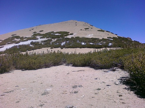
Once at the base of Job's Sister, it was more scree, going straight up the peak.
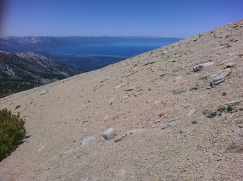
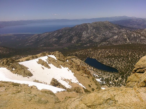
While the going was tough, the views of Lake Tahoe from this vantage point were outstanding! It's always neat looking at the lake from this elevation, seeing boats on the water, but not much more.
The views from the top were equally impressive, moreso from the fact that you could see in all directions. Stunning.
After a half hour or so at the top of Job's Sister, it was time to move on.
Job's Peak
I'm not sure if it was the elevation, the difficulty of the next climb, the fact that I'd gone to spin class the morning before, or a combination, but wow the ascent to Job's Peak was tough.
Much of the way over was a good, solid, relatively flat surface until a snow field, which we had to cross to get to the final ascent. The snow field was a lot harder than I expected to cross, and it's a good thing others had crossed before me. It gave a good place to put my feet as I walked, rather than slipping as I walked. That isn't to say I never slipped, but at least I had a walkway to follow.
Once again, the final ascent was rough. It wasn't as much scree this time around, just a steep trail with few switchbacks and occasional rocks to climb over. Once on the pile of rocks at the top of Job's Peak, rest was a welcome occurrence.
The way down was even tougher, due to the steepness of the trail. The group I headed down with decided to run down the hill, which I did at first, and kept up pretty well, but then I realized that we were skating the edge of comfortable descent and being out of control. I decided to stop running and start walking again in the name of injury avoidance.
After a few miles, the trail leveled off and followed a 4x4 road the rest of the way to our vehicles.
All in all, it was a great day, with great company and plenty of calories to burn. It got the 4th of July weekend off with a bang, with Sunday being my lazy day. Sunday was the 4th, and that calls for a lazy day, right?
My next hike will be the TRT segment lovingly referred to by the hiking group as "The Punisher", Kingsbury Grade to Big Meadows. It's been 3 years since I hiked it last, and I'm in much better shape now than I was then. It should be a heck of a 22.5-mile Saturday!
